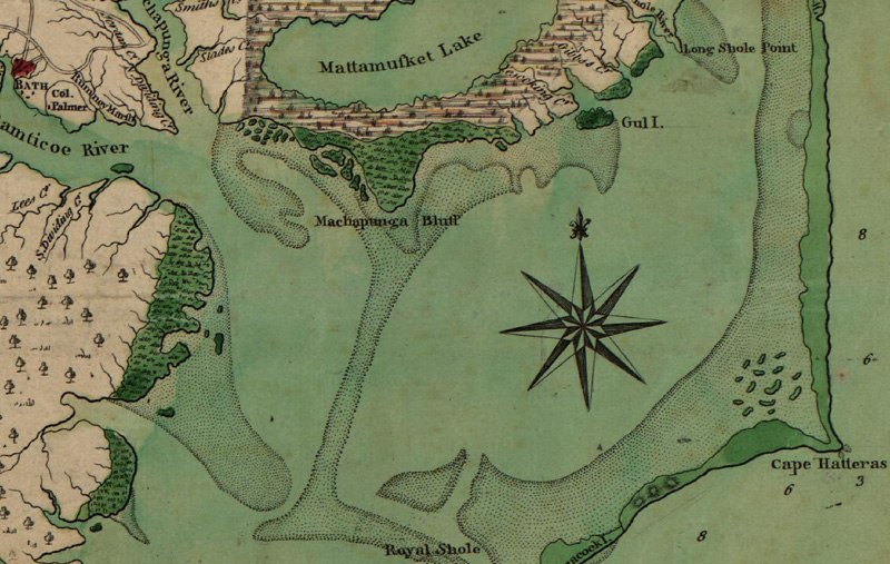
A recent “Ask a Cartographer” question dealt with mapping shorelines to look like the styles found in old-time maps like the example below.
This Mapping Center post covers multiple ways to symbolize vector and raster data. Good details and lots of graphics.


2 comments:
Thanks for sharing tips for shoreline mapping.
regards
GIS software development
Very informative post. I can learn much about shoreline mapping. Thanks.
Post a Comment